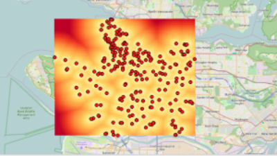
January’s NetSquared Vancouver meetup featured a free-flowing discussion about how data can be mapped and visualized. Event host Noah Ferguson shared his experience working in the political realm and we received an overview of GQIS, an open source GIS program, from Jim O’Leary and Rick Davidson. They’ve generously shared their slides.
If you’d like to learn more about QGIS and Geospatial technology Rick and Jim are also offering a course at Langara.
Langara Qgis Course
Starting with Introduction to Geospatial Technology on Tuesday January 19, 2016, our new program offers five courses that can be taken individually or combined to qualify for the GIS Certificate.
Geographers, cartographers, environmental activists, urban planners, data visualizers, health policy researchers: whether you are looking for a way to access GIS software to
- map climate change or traffic patterns,
- supplement expensive proprietary software or use it in the field, or
- enable your constituents to test various choices from different data sets,
GIS is a great addition to your skill set.
Using open source software loaded on your own laptop, you will build knowledge, skills and a portfolio of mapping projects to enhance your career, advance your cause or communicate your research.
In demand in a world increasingly focussed on visual representation of data to explain, persuade and project, a foundation in GIS principles and hands-on, practical experience with open source freely available software gives you a technological advantage with employers. And a powerful tool for making effective use of Open Data.
For course details, go to http://langara.ca/continuing-studies/programs-and-courses/programs/geographic-information-systems/index.html
To Register, call 604.323.522 today.